
Read the first chapter
The whole of chapter one, free. About 8 min. Turn the pages with the arrows, your keyboard, or a swipe.
Chapter 1
The Ice Age Virginia You Forgot
A Virginia Buried Under Water, Wind, and Time
In the early 1930s, workers digging a drainage ditch near Saltville uncovered bones unlike anything familiar in the modern Virginia landscape. The remains belonged to Ice Age animals, including mammoths and mastodons, and they revealed a plain fact easy to miss: the Virginia known today is only the latest version of the place.
When the first known Indigenous communities entered the region, Virginia was colder, drier, and more open. Forests did not cover the land as continuously as they do now. Glacial ice stopped north of Virginia, but its climate reached much farther south, shaping rivers, plants, animals, and the routes people could travel. The coastline lay far beyond the modern shore because so much water was locked in northern ice sheets.
Archaeologists call the earliest widely recognized inhabitants of the Americas Paleoindians, a broad term for people living during the closing part of the Ice Age. It does not name a single tribe, language, or culture. It describes a long period and a changing set of communities whose own names have not survived in the archaeological record.
The Landscape Lens begins with the ground beneath the artifacts. A stone point is not simply a tool; it is evidence of a particular landscape, a particular supply of stone, and a particular set of choices. A campsite is not merely a location on a map. It is a trace of movement through a world of shifting rivers, open uplands, wetlands, and animal paths.
What kind of Virginia did the first known people actually enter?
The Ice Age Was Not a Wall of Ice
Virginia was never covered by the continental ice sheets that advanced across much of Canada and the northern United States. That distinction matters. “Ice Age Virginia” does not mean a frozen state buried beneath glaciers. It means a colder environment influenced by glaciers to the north and by the enormous climate changes of the Pleistocene, the geological period that ended roughly 11,700 years ago.
During the coldest phases, average temperatures were lower than today, and growing seasons were shorter. The landscape included a mixture of grasslands, shrublands, open woodlands, and patches of forest. The exact arrangement varied by region and by time. The Blue Ridge, Valley and Ridge, Piedmont, and Coastal Plain were never identical, and none remained unchanged for long.
The shoreline was also different. At the height of the last glacial period, sea level fell because water was stored in ice sheets. Virginia’s Atlantic coast extended much farther east than it does now. The broad continental shelf, today beneath the ocean, was then dry land crossed by rivers and occupied by plants and animals. Any camps located there are now difficult or impossible to reach archaeologically. Some of the earliest evidence of human activity may lie beneath the sea.
That vanished coast is one of the most important absences in the story. Archaeologists work with what survived in places that remained on land, but preservation is not evenly distributed. A site beside an ancient shoreline may now be underwater. A campsite on a river terrace may have been buried by later sediment. A stone tool may remain visible while the wood, hide, food, and human remains that once surrounded it have disappeared.
Rivers offered both movement and information. The James, Roanoke, Potomac, Shenandoah, and other waterways were not simply channels carrying water toward the sea. They connected different ecological zones and exposed gravel where useful stone could be found. Floodplains attracted animals and plants; terraces provided relatively stable ground; ridges offered routes through difficult terrain. People did not need modern roads to understand how a landscape fit together. Their knowledge was built through repeated travel.
A single stone flake can therefore carry more information than its size suggests. Its material may point to a quarry or gravel source. Its shape may show how it was struck from a core. Its location may indicate whether people were making tools, repairing them, processing food, or passing through. No one clue answers the whole question. The landscape emerges from many small traces.
Reading the Landscape Lens
The Landscape Lens asks three connected questions: what was physically present, what did people do there, and what remains unknown? Keeping those questions separate prevents archaeological evidence from becoming a story more confident than the objects allow.
Physical evidence includes stone tools, flakes produced during toolmaking, charcoal, animal bone, soil layers, and the arrangement of artifacts. In Virginia, stone is often the strongest surviving evidence because it resists decay. Organic materials may survive only in unusual conditions, while many open-air sites have been disturbed by erosion, farming, construction, and later occupations.
Interpretation begins when archaeologists connect those objects to human behavior. A concentration of flakes may suggest a toolmaking area. A carefully shaped projectile point may indicate hunting equipment, but it does not prove which animal was hunted at that exact spot. The presence of a tool type can reveal technological traditions and broad connections across regions, yet it cannot recover a person’s name, language, family structure, or beliefs.
Unknown information is not an empty space to fill with imagination. It is part of the evidence. Archaeology cannot currently tell us what Paleoindian people called themselves, what languages they spoke, or how they explained the world. Historically documented Virginia nations - including the Powhatan, Monacan, and others - belonged to much later periods. Their names should not be projected backward onto people who lived thousands of years earlier.
The first known inhabitants were not simply mammoth hunters. Large animals existed in Ice Age Virginia, but the archaeological record also points toward broad use of landscapes and resources. People carried stone tools suitable for cutting, scraping, piercing, and other tasks. They moved through varied environments in which plants, small animals, fish, shellfish, and birds could matter alongside larger game. The evidence is incomplete, but it does not support reducing Paleoindian life to a single pursuit.
A useful comparison is a modern workbench after everyone has left. The tools remain, perhaps a few scraps and marks, but the conversations, decisions, and reasons for each task are gone. Archaeologists can reconstruct patterns from the arrangement. They cannot recover every intention.
The Coast That Disappeared
The most counterintuitive fact about Ice Age Virginia is that some of its most promising human landscapes are no longer part of Virginia’s visible land. The coast was farther east, and rivers that once crossed exposed coastal plains now lie beneath the Atlantic. The archaeological record is therefore biased toward places that survived above water and remained undisturbed.
This changes how “earliest evidence” must be understood. The oldest site archaeologists have found is not necessarily the first place people lived. It is the oldest surviving and recognizable trace discovered so far. That distinction is especially important when discussing early sites such as Cactus Hill, near the Nottoway River in southeastern Virginia. Investigations there produced artifacts in deposits that researchers have argued may predate the commonly recognized Clovis period, but the age and interpretation of those deposits remain subjects of scholarly debate.
Cactus Hill matters not because it settles every question, but because it exposes the difficulty of finding people in a landscape that has been repeatedly altered. Sand moves. Soil layers can be mixed. Artifacts can be displaced. Dating methods have limits, and the meaning of an object depends heavily on its position in the ground. The site has encouraged serious discussion about how early people entered and occupied the region while also demanding caution about claims that go beyond the evidence.
The same caution applies to climate. A pollen grain, buried seed, animal bone, or soil layer can reveal past conditions, but no single sample recreates an entire ecosystem. Archaeologists and environmental scientists compare many kinds of evidence to estimate how forests, grasslands, wetlands, and river systems changed. Their conclusions are strongest when independent clues point in the same direction.
What emerges is not a static Ice Age backdrop but a moving set of opportunities and constraints. As temperatures rose, forests expanded in some areas, animals shifted their ranges, and familiar travel routes changed. People had to respond to those changes, but response does not necessarily mean crisis. Movement, adjustment, and continued knowledge of place were ordinary parts of life in a changing world.
Saltville and the Evidence Beneath a Modern Town
Saltville, in southwestern Virginia, makes the ancient landscape unusually visible. The town developed around mineral-rich springs and salt production, but long before modern industry, the same setting attracted animals. Mineral springs created a distinctive wetland environment, and the surrounding valley preserved deposits containing Ice Age fauna.
The Saltville Valley site has yielded remains of animals such as mammoths, mastodons, bison, and giant ground sloths, along with other species. These finds show that southwestern Virginia supported a rich and changing animal community during the Pleistocene. They also demonstrate why certain places mattered repeatedly: water, minerals, plants, and animal traffic could concentrate life in one valley.
Evidence connecting people directly to particular Ice Age animals must be evaluated carefully. A mammoth bone near a stone tool does not automatically prove that humans killed or butchered the mammoth. Stronger claims require clearer signs, such as cut marks, reliable association within undisturbed layers, or other evidence showing human action. Archaeology advances by distinguishing proximity from connection.
Saltville also grounds the larger story in an actual place where modern roads, buildings, and industrial history sit above much older environmental records. The valley is not a preserved stage from the past. It is a layered landscape, altered by natural forces and human activity, where ancient evidence has survived unevenly.
That uneven survival explains why the first known people of Virginia can seem both present and elusive. Their stoneworking left durable traces. Their camps may have stood beside rivers that later moved. Their food remains may have decayed. Their descendants’ names cannot be securely attached to these early communities. What remains is enough to establish a human presence, but not enough to turn that presence into a complete biography.
The earliest Virginians entered a world already shaped by climate, water, stone, plants, and animals. They did not arrive on an empty map. They read slopes, crossings, wetlands, ridges, and exposed gravel through knowledge accumulated by living there. The artifacts they left behind are small, but the landscape they reveal is immense.
Virginia’s oldest human story begins not with a single point or a single dramatic hunt, but with people recognizing possibilities in a changing country. Beneath today’s forests, farms, towns, and tidewater lies a geography that once extended beyond the shore and opened into colder grasslands and woodlands. Its missing pieces are part of the mystery - and perhaps the clearest reminder that the past is not gone so much as scattered, submerged, and waiting to be read.
End of chapter one. 19 more chapters in the full book.
Swipe or use the arrows to turn the page


What's inside: 20 chapters
- 1. The Ice Age Virginia You Forgot
- 2. Who Were the Paleoindians?
- 3. The First Footprints Are Stone
- 4. Cactus Hill’s Bold Claim
- 5. Pre-Clovis or Just Complicated?
- 6. Clovis: A Technology, Not a Tribe
- 7. How Points Were Made
- 8. Beyond Mammoth Myths
- 9. Hunting, Gathering, and Timing
- 10. Family Life in the Archaeological Record
- 11. Campfires, Work Areas, and Trash
- 12. Why People Moved Seasonally
- 13. Rivers That Carried Time
- 14. Ice Age Animals and What Survives
- 15. Quarries, Trade, and Stone Choices
- 16. The Conover Site Story
- 17. How Archaeologists Date the Past
- 18. Climate Shifts That Reshaped Life
- 19. From Paleoindian to Early Archaic
- 20. What We Can’t Know-and Protect
About this book
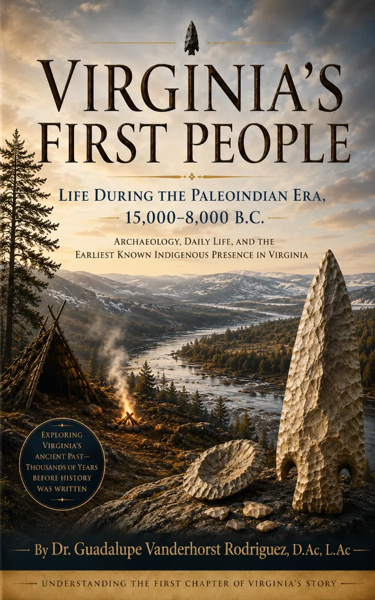
"Virginia’s First People" is a curiosity book by Dr. Guadalupe Vanderhorst Rodriguez, D.Ac with 20 chapters and approximately 32,619 words. Archaeological evidence of Paleoindian life in Ice Age Virginia.
This book was created using Inkfluence AI, an AI-powered book generation platform that helps authors write, design, and publish complete books.
Frequently Asked Questions
What is "Virginia’s First People" about?
Archaeological evidence of Paleoindian life in Ice Age Virginia
How many chapters are in "Virginia’s First People"?
The book contains 20 chapters and approximately 32,619 words. Topics covered include The Ice Age Virginia You Forgot, Who Were the Paleoindians?, The First Footprints Are Stone, Cactus Hill’s Bold Claim, and more.
Who wrote "Virginia’s First People"?
This book was written by Dr. Guadalupe Vanderhorst Rodriguez, D.Ac and created using Inkfluence AI, an AI book generation platform that helps authors write, design, and publish books.
Write your own curiosity book with AI
Describe your idea and Inkfluence writes the whole thing. Free to start.
Start writingCreated with Inkfluence AI


