
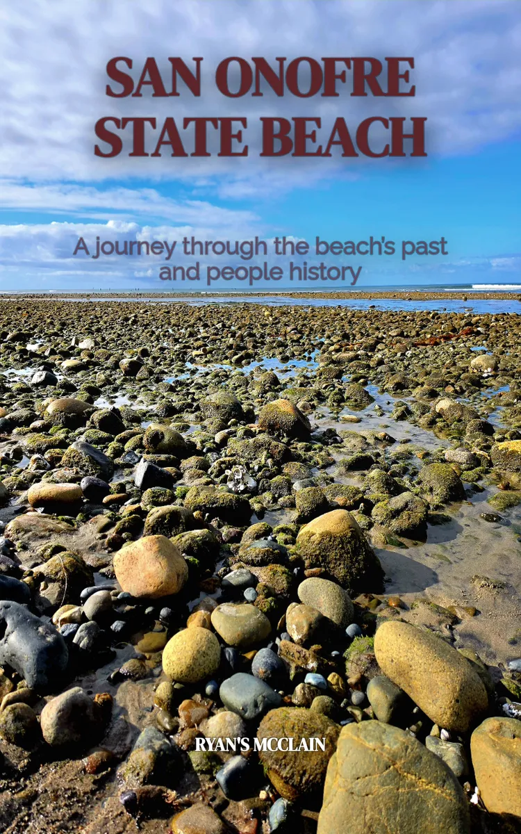
Historical account of San Onofre State Beach
Table of Contents
- 1. The Storm That Redrew the Shore
- 2. Lifeguards, Lifeboats, and Lifelines
- 3. The Hidden Story of Native Footprints
- 4. From Ranch Land to Public Beach
- 5. Seams in the Sand
- 6. Why San Onofre Feels Like a Memory
Preview: The Storm That Redrew the Shore
A short excerpt from “The Storm That Redrew the Shore”. The full book contains 6 chapters and 8,624 words.
When the Beach Moved Overnight
After the winter storms of 1983, visitors arriving at San Onofre State Beach found a shoreline that no longer matched the one they remembered. Sand had been stripped from broad stretches of coast, dunes were cut back, and access points that seemed permanent suddenly depended on whatever the next tide left behind. The paradox was simple: the beach looked natural, but people had built their routines around a shape that was never stable.
San Onofre’s history is often told through surfing, military land, camping, and the long coastal highway. Yet beneath those familiar subjects is another history written in temporary lines: the edge of the water, the foot of a bluff, the mouth of a creek, and the paths visitors used to reach the sand. Major storms did more than damage facilities. They altered the practical map of the coast and forced public agencies, surfers, campers, and nearby communities to reconsider what “access” meant.
The Shoreline Reset Timeline follows those changes as a sequence of coastal adjustments. Each storm exposed a different relationship between people and the shore: first as a place crossed by roads and trails, then as a protected landscape, and finally as a public beach whose access had to accommodate the coast’s constant movement.
When the shoreline keeps moving, what exactly are we preserving?
The Coast Before the Park
Long before San Onofre became a state beach, the coast was shaped by the interaction of ocean swell, wind, seasonal runoff, and the sediment carried south along California’s shore. The broad sandy areas familiar to visitors were not fixed platforms. They were deposits, assembled and rearranged by waves. Bluff faces supplied some material; streams and coastal drainage moved other material toward the ocean. Winter storms then redistributed it.
That process mattered because San Onofre sits beside a steep coastal bluff and several low-lying drainage areas. The beach could appear generous during calm seasons and narrow sharply after powerful winter surf. Where sand accumulated, walking routes widened and informal gathering places developed. Where waves cut into the beach, visitors were pushed closer to the bluff or forced to use a different route altogether.
The area’s military history added another layer. During the twentieth century, the land around San Onofre was associated with Camp Pendleton, established in 1942. Military roads, restricted areas, and controlled crossings shaped how the public encountered the coast. Access was never determined by geography alone. A trail might lead toward the ocean, but fences, gates, training grounds, or unstable bluff edges could decide whether that trail was usable.
Surf culture brought a different kind of familiarity. Surfers did not experience the beach only as a strip of sand between land and water. They watched the shape of the shoreline because it affected parking, carrying boards, launching, and returning from the water. At places such as Trestles, the relationship between wave, reef, beach, and access path became part of local knowledge. A storm could change the sand without changing the underlying reef, producing a coastline that felt altered and yet recognizably the same.
One fact explains much of San Onofre’s character: the most durable feature of the coast is not the beach itself, but the cycle that rebuilds and removes it.
The Shoreline Reset Timeline
The first reset in the timeline came with the great winter storms that repeatedly struck Southern California in the early 1980s. The storms associated with 1982-83 produced heavy rain, large surf, flooding, and widespread coastal erosion. Along San Onofre, the effects were not limited to a dramatic high-water mark. Storm waves removed sand from the upper beach, cut into dunes and bluff toes, and exposed the vulnerability of roads, paths, and recreation areas placed near the shore.
The change was especially important because public use had expanded around a coast that still behaved like an open system. Campgrounds, day-use areas, parking, and trails made the beach easier to reach, but they also gave visitors the impression that the landscape had been organized permanently. The storms corrected that impression. A parking area could remain intact while the route from it to the water became difficult. A trail could survive as a line on a map yet disappear where runoff carved across it.
The reset did not mean that the shore moved once and then settled. Sand returned in some places, often unevenly. Waves rebuilt parts of the beach while leaving other sections narrow. This uneven recovery influenced later choices about maintenance. Reopening a route was not simply a matter of repairing a damaged surface. Managers had to consider whether the route occupied a place the next storm would remove again.
...
About this book
"San Onofre State Beach" is a curiosity book by Ryan's Mcclain with 6 chapters and approximately 8,624 words. Historical account of San Onofre State Beach.
This book was created using Inkfluence AI, an AI-powered book generation platform that helps authors write, design, and publish complete books.
Frequently Asked Questions
What is "San Onofre State Beach" about?
Historical account of San Onofre State Beach
How many chapters are in "San Onofre State Beach"?
The book contains 6 chapters and approximately 8,624 words. Topics covered include The Storm That Redrew the Shore, Lifeguards, Lifeboats, and Lifelines, The Hidden Story of Native Footprints, From Ranch Land to Public Beach, and more.
Who wrote "San Onofre State Beach"?
This book was written by Ryan's Mcclain and created using Inkfluence AI, an AI book generation platform that helps authors write, design, and publish books.
Write your own curiosity book with AI
Describe your idea and Inkfluence writes the whole thing. Free to start.
Start writingCreated with Inkfluence AI


